

04 of 04 · Highlights · App
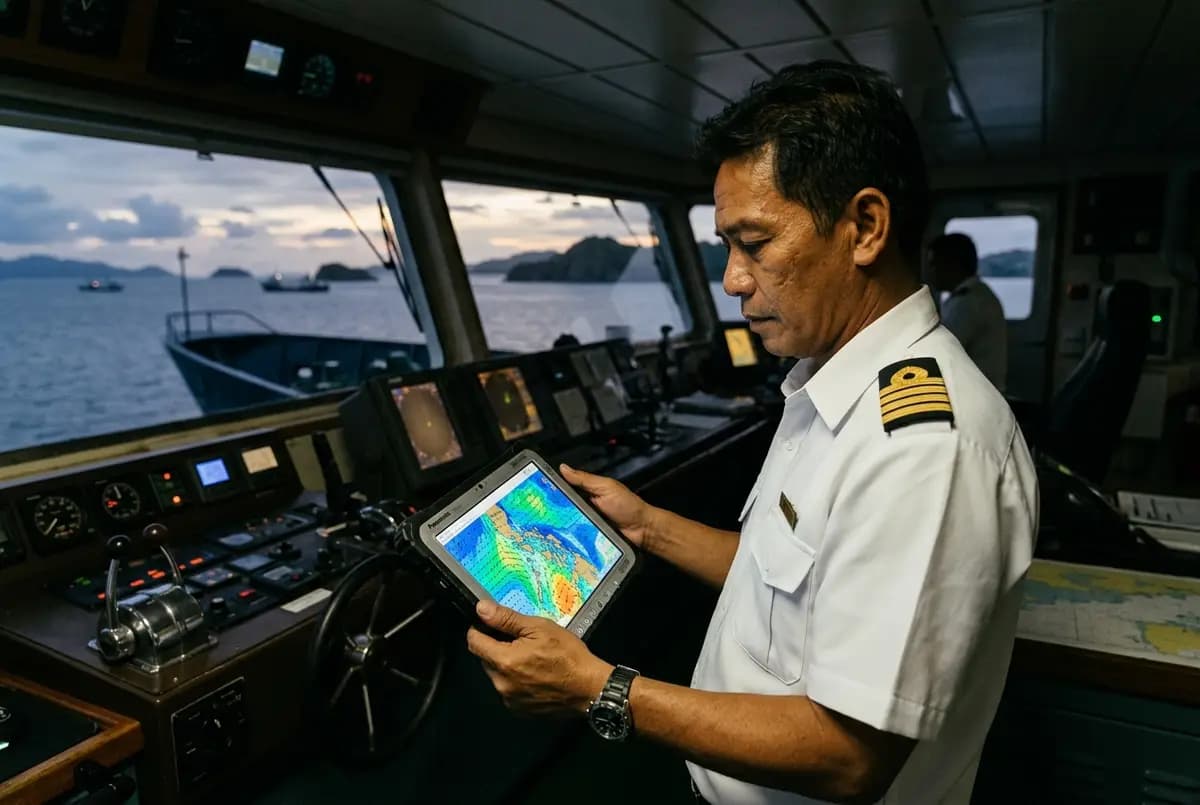
The captain's weather viewer
Wind, waves, swell, pressure and rain for the next 72 hours, on a chart of Roble's own routes.
Needs: 3 things from Roble6 things it doesOne of the 7 that come with the app
 PAGASA Signal No. 1 · Eastern Samar
Tonight’s crossing
Cebu → Hilongos 9:00 PM · wind NE 15 kt · waves 1.2 m · rain from 2 AM
The captain's weather viewer in full
Who it is for
The master and the officers on watch, and the office deciding in the afternoon whether tonight's crossing goes.
What it does
- Wind, waves, swell, pressure and rain for 72 hours, drawn on a chart of Roble's routes rather than a national map.
- PAGASA signals and typhoon tracks laid over the same chart, with JTWC's track beside them.
- A route strip for tonight's crossing, hour by hour: “Cebu → Hilongos, departs 9 PM — wind NE 15 kt, waves 1.2 m, rain from 2 AM.”
- An alert when waves are forecast above the threshold Roble sets.
- A one-page weather brief that prints for the manifest.
- A forecast pack of 5–10 MB that downloads at the pier and works offline for the whole crossing.
How it works
- The forecast is assembled from free maritime data — NOAA GFS, ECMWF open data and WaveWatch III — and refreshed on each new model run.
- PAGASA bulletins and TCWS signals are read as they are published, so the bridge and the office see the same warning.
- The pack downloads over ordinary mobile data at the pier; with Starlink on board it refreshes mid-voyage.
- The threshold that fires the alert is Roble's own number, set once and changed from the control room.
- It is a viewer, not a router: it shows conditions and it never plans a passage.
What it needs
- The app on the bridge device
- A wave-height threshold set by Roble, for the alert
- Mobile data at the pier for the forecast pack; with Starlink it refreshes at sea
Where the forecast comes from
- NOAA GFS
- ECMWF open data
- WaveWatch III
- PAGASA bulletins and TCWS
- JTWC
Guidance for the master, never a navigation aid — a viewer, not a router.